UN
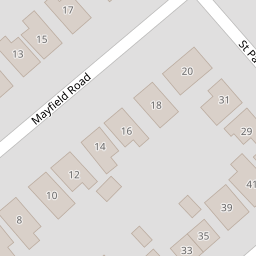
21 Mayfield Road
£ 255,000
Description
We don't have a Description for this property.
- Bedrooms
- 2
- Bathrooms
- 0
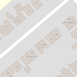
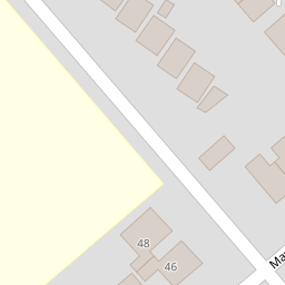
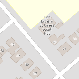
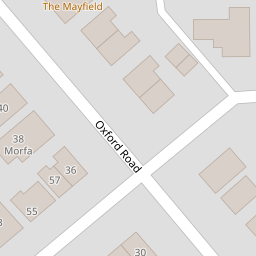

Leaflet © OpenStreetMap contributors
The heatmap indicates the level of crime in the area. The color of the heatmap indicates the crime severity and recency.
Metrics Year-on-Year
- Average area value
- 258,785.00 £Increased by 24.11 %
- Average area rental value
- 911.00 £/moIncreased by 19.55 %
- Est rental Yield
- 4.22 %Decreased by 3.87 %
- Crime Rate
- 1.00 %Unchanged by 0.00 %
from 208,510.00 £
from 762.00 £/mo
from 4.39 %
from 1.00 %
Nearby Schools
| Name | Type | Ofsted | Distance |
|---|---|---|---|
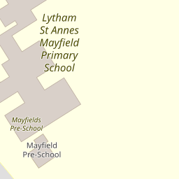
| Lytham St Annes Mayfield Primary School | Community School | Requires improvement | 0.22 KM |
| Oak Tree Children'S Centre | Children's Centre | 0.83 KM | |
| Heyhouses Endowed Church Of England Primary School | Voluntary Aided School | Good | 1.04 KM |
| Red Rose School | Other Independent Special School | Outstanding | 1.05 KM |
| The St Anne'S College Grammar School | Other Independent School | Good | 1.10 KM |
Images
Nearby Streets
| Name | Average Price | Average Sqft | Distance |
|---|---|---|---|
| Grange Road | £ 288,333 | 0 | 0.00 KM |
| Dobson Avenue | £ 199,950 | 0 | 0.00 KM |
| Keswick Road | £ 0 | 0 | 0.00 KM |
| Stephen Street | £ 350,000 | 0 | 0.00 KM |
| St David's Road North | £ 221,667 | 0 | 0.00 KM |
Nearby Transport
| Name | NLC | TLC | Distance |
|---|---|---|---|
| St Annes-On-The-Sea | 2672 | SAS | 0.58 KM |
| Squires Gate | 2666 | SQU | 3.15 KM |
| Blackpool Pleasure Beach | 2738 | BPB | 4.28 KM |
| Ansdell And Fairhaven | 2662 | AFV | 4.42 KM |
| Blackpool South | 2740 | BPS | 5.00 KM |
Nearby Listings
| Address | Price | Type | Score | Distance |
|---|---|---|---|---|
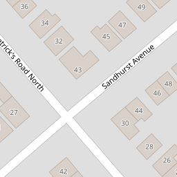
| Sandhurst Avenue, Lytham St. Annes, FY8 | £ 370,000 | BUY | 6 / 10 | 0.14 KM |
| Mayfield Road, Lytham St. Annes, FY8 | £ 325,000 | BUY | Unknown | 0.15 KM |
| Sandhurst Avenue, Lytham St. Annes | £ 385,000 | BUY | 7 / 10 | 0.15 KM |
| Sandhurst Avenue, Lytham St. Annes, Lancashire | £ 250,000 | BUY | 7 / 10 | 0.17 KM |
| Claremont Place, Lytham St. Annes, FY8 | £ 234,500 | BUY | 7 / 10 | 0.22 KM |
Nearby Properties
| Address | Price | Distance |
|---|---|---|
| 28 Mayfield Road | £ 215,000 | 0.00 KM |
| 21 Mayfield Road | £ 255,000 | 0.00 KM |
| 35 Mayfield Road | £ 260,000 | 0.00 KM |
| 25 Mayfield Road | £ 165,000 | 0.00 KM |
| 38 Mayfield Road | £ 365,000 | 0.00 KM |